Ski touring Arlberg: Top 5 tour tips from the ski guide
Discover the most beautiful ski tours in Arlberg. From Hochkarspitze to Wösterspitze – exclusive route tips & requirements for your adventure.
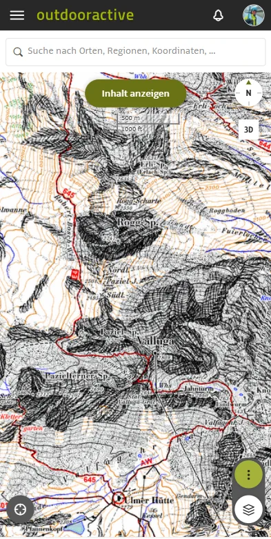
The foundation of every tour is the map material. For me, the integrated Alpine Club map is an absolute „winner“. Why? Because it provides details that no standard map offers – perfect for precisely reading terrain structures.
However, when I'm outside the Alps, official topographic maps of the country come into their own. Whether ski touring in Norway, in the Western Alps of France or in the Dolomites: the quality is top. The highlight: on these maps, I can activate all the important additional layers (such as slope inclination or ATHM), which makes planning in unfamiliar terrain enormously easier.
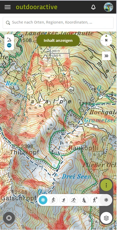
As a ski guide, avalanche safety is my daily bread and butter. This is where layers come into play:
In alpine terrain, relying on mobile phone signal is a gamble. That's why offline storage is the most important feature for me, hands down. Before I set off, I download the entire region onto my device.
Pro tip from the guide: Always use offline maps in combination with a power bank! Cold drains the battery quickly, and in an emergency, your smartphone is your navigation back-up.
I use route planning almost daily. When I explore new terrain, I plan the route precisely down to the meter. This way, I know exactly how many metres of elevation gain and kilometres we can expect. More importantly, I can lay out the route for optimal risk and take advantage of favourable terrain features (like ridges instead of gullies). This saves energy and increases the safety of the entire group.
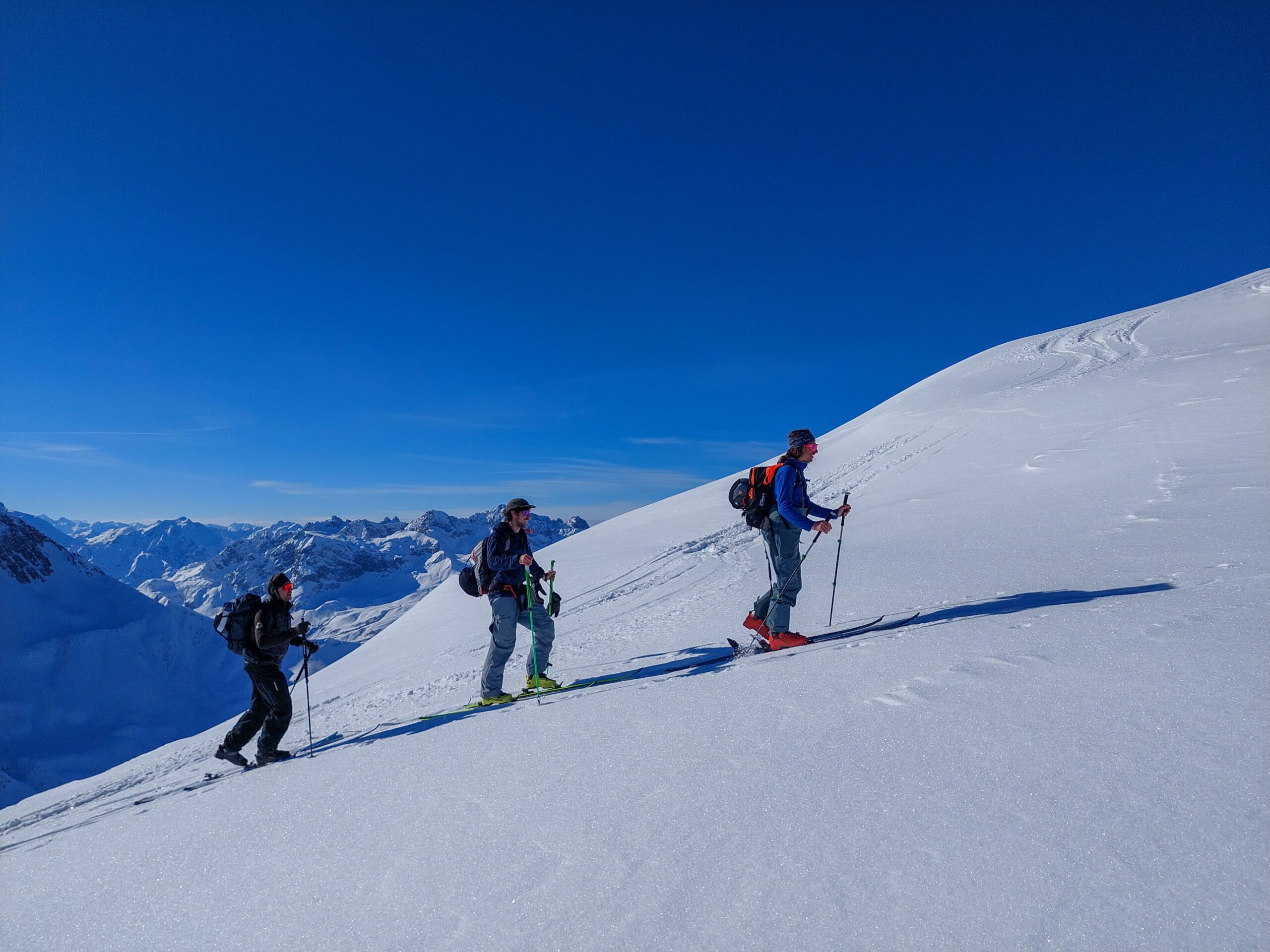
Following the detailed planning on the desktop or smartphone comes the most important step for practical use: the GPX export. I consistently use this function to transfer the planned track to my GPS watch or to special satellite apps. This way, I always have the route directly on my wrist when outdoors, without having to constantly pull my smartphone out of my pocket – a massive gain in safety and comfort, especially when things need to happen quickly in wind and weather.
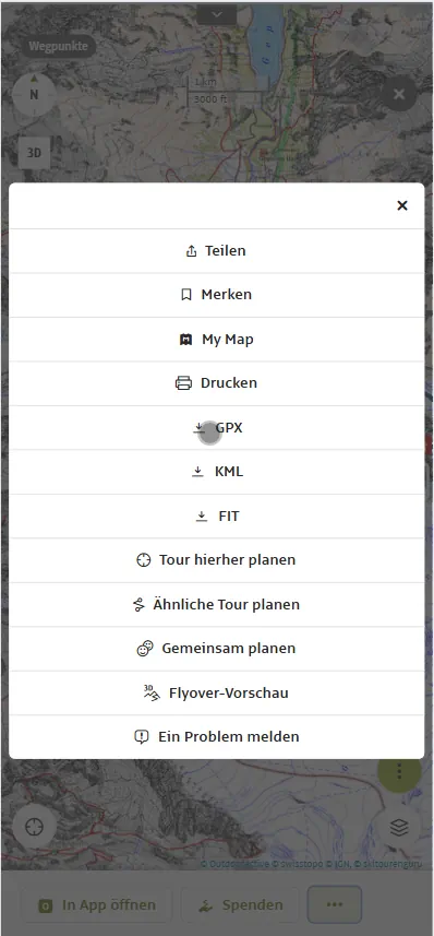
Anyone planning trips in the winter high mountains, like me, cannot get around the official avalanche situation report (LLB). Outdooractive has taken a huge step here to make this important information easily includable in planning: Central content of the report is visualised directly on the map.
The basis for this is the daily avalanche warning service reports, which have not only been integrated as text but whose key elements have also been graphically incorporated into the map. For me, this means: I can immediately identify a large part of the areas relevant in the terrain today with just one click on the map.
Hazard Levels and Dynamics When the layer is activated, each avalanche region is coloured according to its valid danger level. The scale ranges from warning level 1 (green, low danger) to warning level 5 (dark red, very high danger). This area-wide representation immediately provides an important overview for selecting or excluding relevant tour areas depending on risk tolerance.
Core zones and avalanche problems More important than the highly simplified hazard level are often the prevailing avalanche problems. The layer visualises the so-called „core zone“. These are the areas where an avalanche problem is particularly pronounced, applicable to specific altitude ranges and above all in the marked slope aspect. If I zoom further into the map, I can open the official avalanche situation report for the region by clicking on the icon.
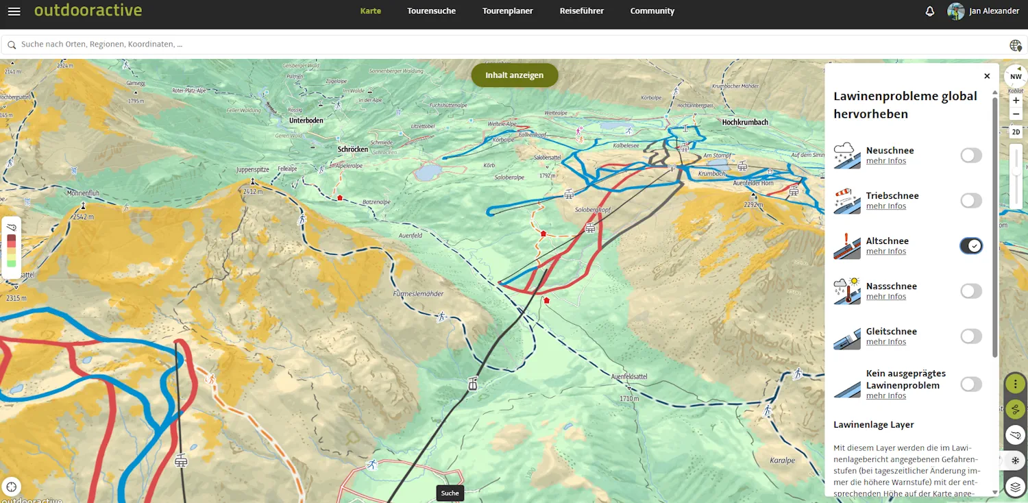
As a professional user, I observe the market closely. Since Fatmap was acquired by Strava, a gap has opened up in the area of high-resolution 3D satellite maps. Strava is a great fitness app, but not a specialised mapping tool. The intuitive 3D visualisation that we loved at Fatmap is currently missing at this quality.
My wish: If Outdooractive picks up on this, they could become the ultimate „all-in-one“ solution for us guides. What's needed for that?
A true 3D satellite map with a full winter view (to better assess rocks and vegetation against the snow).
The ability to save this 3D data offline.
Freehand drawing of the route in 3D mode (without automatic snapping to paths).
The usual simple GPX import and export.
With these features, Outdooractive would not only be the market leader but the unrivalled operating system for every mountaineer.
Whether it's for a quick after-work tour or a complex ski expedition in Norway: Proper preparation is half the battle. Outdooractive provides me with the foundation on which I make my decisions in the mountains.
Here you will find a selection of guided ski touring camps with a ski guide. Of course you can always book your favourite tour with your private ski guide plan.
Experience unforgettable ski tours with sea views on the wild island of Senja. Individually guided, far from the mainstream - with a cosy lodge by the sea, local guides and a real passion for touring.
Difficulty:
Secure the best ski tours and freeride adventures on the spur of the moment! Only the best conditions, guided group tours at a lower price. Subscribe to the PEAKX WhatsApp channel now.
Difficulty:
Experience unforgettable high-altitude ski tours in the glacier world of the Ötztal Alps - with a rustic hut atmosphere at 2,755 metres, small groups and local guides. Your journey to the roof of Tyrol starts here.
Difficulty:
Discover the most beautiful ski tours in Arlberg. From Hochkarspitze to Wösterspitze – exclusive route tips & requirements for your adventure.
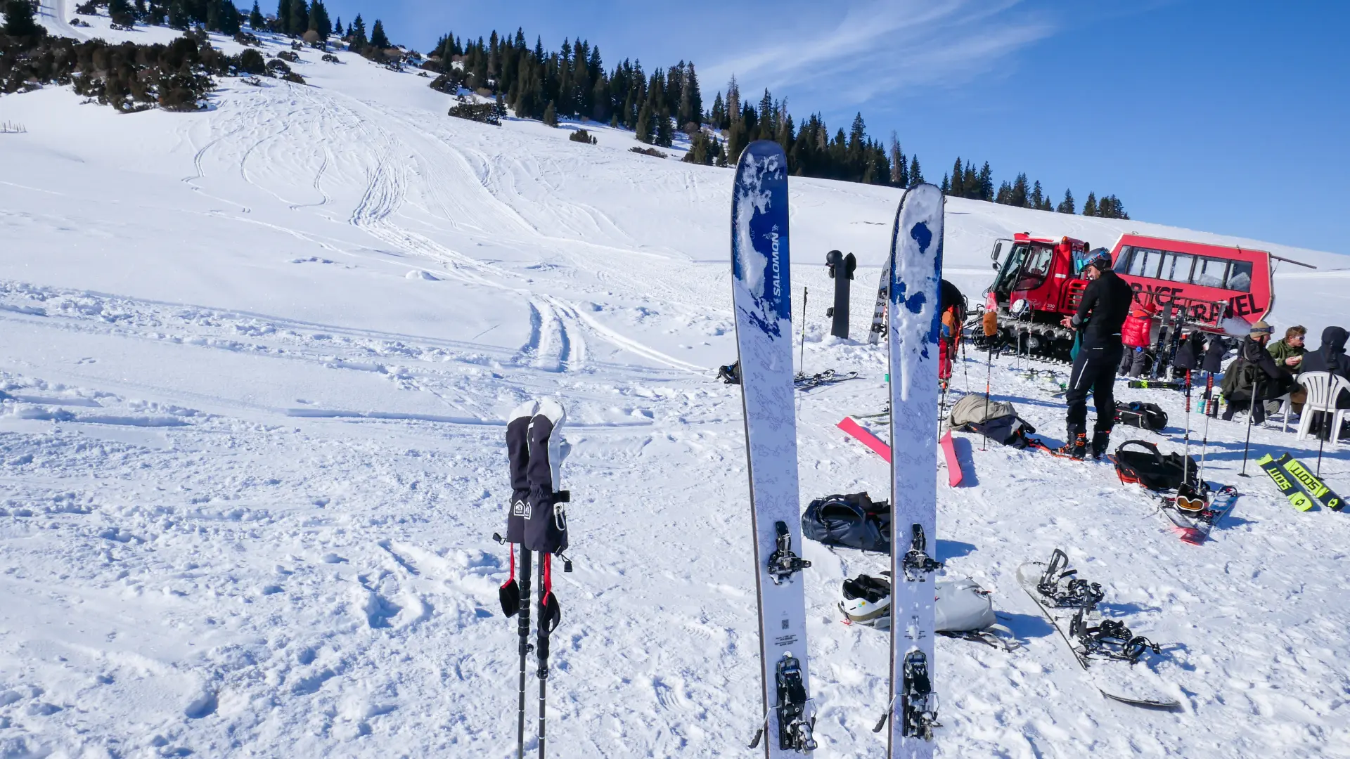
Bone-dry powder and rugged wilderness: Read our real experience report on a ski touring and cat-skiing adventure in Kyrgyzstan. Read now!
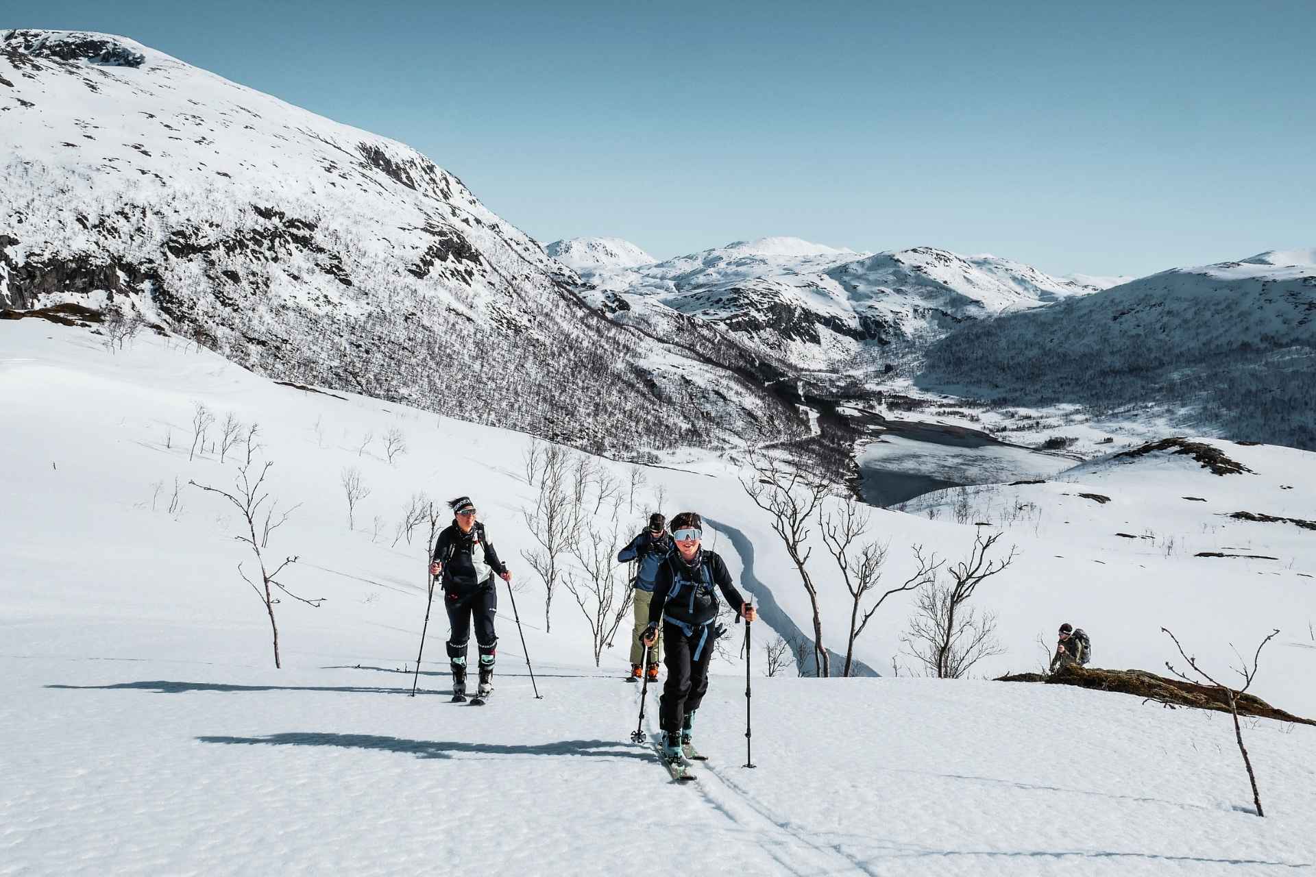
Ski touring is more than just a sport – it's the ultimate freedom in the mountains. However, for your first time in untouched terrain to be a pleasure and not an ordeal, the right preparation is crucial. Professional ski guide Alex Kunert explains for peakx.at what really matters when it comes to fitness, technique, and planning.
We use cookies to enhance your browsing experience, serve personalised ads or content, and analyse our traffic. By clicking "Accept All", you consent to our use of cookies.